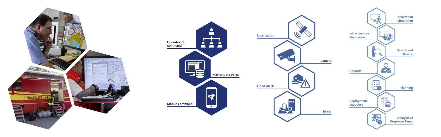
- Visualization of infrastructure and operational picture using digital maps and aerial photography
- Localization of objects, addresses, major sites of operation
- Hazard, risk and infrastructure analysis
- Operational command and documentation
- Mapping of traffic and damage situations
- Action and emergency plans, object information
- Interfaces to external modules (GIS, GPS devices, external command and control systems, video surveillance)
Functionalities in Detail
Tabbed contents
Basic modules
Strategic planning
- Analyses of risk, response time and protection target
- Optimal planning of sites for fire departments and rescue stations
- Detection of most suitable response zones
- Site concepts for mobile units, special-purpose vehicles and equipment
- Alarm and response orders
- Analyses for external emergency plans, hazard prevention plans, etc.
Operative and tactical command
- Optimized real-time mission tactical planning and mission control
- Advice on suitable operating resources and lines of approach
- Calculation of long-distance fire hoses and water pumping
- Optimization of forces and means employed in missing persons searches
- Command and control in large-scale public events
- Optimized evacuation planning
- Command and control in large-scale crisis situations
- Deployment, tracking and command of mobile units
- Medical care in mass casualty incidents (MCIs)